Projects
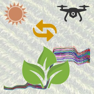
PROSAIL-Net: A Transfer Learning DNN for Corn Biophysical Traits
- Hybridize deep neural networks and radiative transfer models (PROSAIL) to extract corn and sorghum phenotypes from UAV hyperspectral imageries.
- Develop a Python-based automated tool that can extract imaging geometry from push-broom hyperspectral cameras. The outcome helps BRDF and RTM-based experiments in agricultural management.
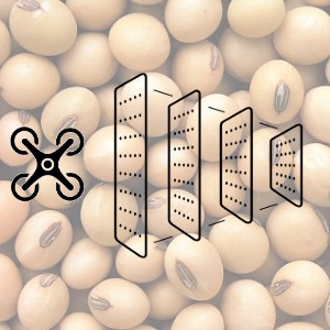
CNN-based Yield Prediction for Soybean Breeding Pipeline
- Develop 2D and 3D variants of CNN (AlexNet, VGG, ResNet, DenseNet) to predict yield from multi-dimensional UAV multispectral images.
- Create an automated pipeline that takes UAV image as input and provides corresponding yield map as output.
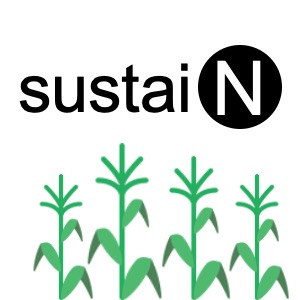
SustaiN: A Decision Support System for In-season Nitrogen Prescription
- Received $15K in funding from NCR-SARE as a graduate student. 20 projects among 60 were funded.
- The goal is to develop an online decision support system that can prescribe in-season Nitrogen requirement for corn farmers in Illinois and Missouri.
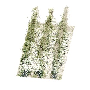
Seed Composition Estimation using CNN
- Formulate a voxelization algorithm to represent LiDAR point cloud as sparse matrix. Utilizing a sparse CNN to estimate canopy architectural traits of corn and sorghum from the sparse matrix.
- Devised a direct imagery-based prediction model using 2D and 3D variants of ResNet and VGGNet to estimate seed composition and yield of in-field soybean and corn.
Raster4ML
- The Python package can prepare machine learning ready datasets from shapefiles and remote sensing imageries.
- Has functions to automatically calculate vegetation indices from images with fewer lines of code.
- Tools to extract ground truth labels for semantic segmentation.
Maplapse
- The package seeks a shapefile as input and outputs an animated timelapse video along a temporal range.
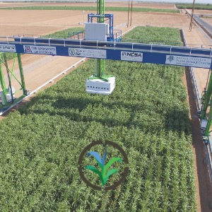
TERRA-REF
- Created a SWIR-irradiance prediction model using feed-forward deep neural networks.
- Leveraged fractional derivatives and machine learning to estimate leaf chlorophyll concentration of sorghum.
- Designed an unsupervised soil removal algorithm for high-resolution remote sensing images in crop breeding, which showed improved result compared to supervised learning methods.
Publication 2
Publication 3
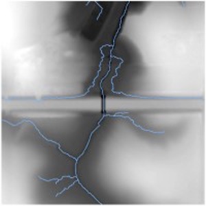
Hydrologic Connectivity using AI
- Developed an automated pipeline to process hydrologic connectivity models in a High-performance computing (HPC) cluster, which significantly reduced the processing time for LiDAR-derived DEMs.
- Created a CNN architecture to automatically identify bridges/culverts from LiDAR-derived DEMs and incorporated that information into hydrologic connectivity models.